Information extracted from a pamphlet produced by the Glenmalure PURE Mile Group which was kindly sponsored by local individuals, businesses, PURE, Coillte and Cllr. Pat Kennedy
Welcome to our second PURE Mile in the beautiful valley of Glenmalure. This information booklet is a continuation of our first leaflet and will guide you from the majestic Carrawaystick Waterfall along the public road through the townlands of Ballinafunshoge and Cullentragh Park, ending at the Raheen Bank. The PURE Mile is an environmental initiative of PURE Project (Protecting Uplands & Rural Environments) in Co. Wicklow which aims to foster a greater appreciation and awareness of the hidden heritage in our country roadscapes by keeping the area litter free through the involvement of the local community. Our aim is to guide you along our PURE Mile using descriptions and photographs to enable you to self-locate along the way. It will also help you to identify many sites of historical and cultural interest in addition to the natural environment & stunning scenery all around you.

Map of mile
Start: This PURE Mile begins opposite the impressive Carrawaystick Waterfall. It follows the path of the River Avonbeg which rises in Table Mountain and flows gently eastwards, bisecting the valley floor and entering the sea at Arklow. The cottage of Kellystown at the base of the waterfall housed a small flannel factory in the late 18th century. The house was a ‘safe house’ for the rebels in the aftermath of the 1798 Rebellion. Behind the cottage a Zig Zag track leads up the mountain to Lugnaquilla and Kelly’s Lake, a corrie lake which is the source of the cascading waterfall.

Carrawaystick Waterfall
This zig zag track is said to have been built by the landlord John Parnell, father of C.S. Parnell of Avondale as a grouse shooting access track. It is presently used as a track to gather sheep from the mountain and is frequented by hundreds of walkers to access Lugnaquilla and the higher peaks. It is in private ownership and is an Agreed Access Route. A bridge over the waterfall behind the cottage was erected by the Mountain Meitheal group in 2007. (No Dogs allowed on the mountain).
As you continue along the road, forestry and woodland are the predominant natural features. This is owned by Coillte (the State Forestry Service) and has been managed by them for around the last 80 years. On your right is a large area of mature deciduous Larch trees. The field boundaries on the left have rows of fine mature Scots Pine, one of the true native trees of the valley. Along the roadsides here is an abundance of the colourful almond scented gorse and a mix of fern species and rushes. The old walls are covered with Wood Sorrel and the round fleshy Pennywort.
On the left hand side of the road about 200m from the beginning of the Mile an interesting Stone Carving (1) can be observed on a stone built into the wall on the roadside. These may be Ogham markings and date from early Christian times.
The next notable feature is the mine site at Ballinafunshoge (Baile na FuinnseOlge, townland of the ash). The first ruin you will see is that of the Old Schoolhouse (2). It is located on the right hand side before the spoil heaps.

Ruins of Old Schoolhouse
This bank (incline) on the road is known locally as’The Schoolhouse Bank. A non-denominational National School funded by the miners was opened here in 1836, with 70 children on roll. There were evening periods of instruction in the school to enable the children to work in the mines. Two barren spoil heaps on the left hand side of the road and a trickle of ochre water flowing from the hillside remind us of the significant mining enterprise which thrived in the townland of Ballinafunshoge from the mid-18th century until the latter half of the 19th century. The lead deposits on the northern slopes of the glen were considered to be the largest in the Wicklow Uplands. When Ballinafunshoge mine was fully in operation it employed up to forty men. Adjacent to these spoil heaps is evidence of a leat or man-made stream diverted from the nearby Avonbeg River and from the Mill Brook to flow past the dressing floor to power machinery. The remains of the Waterwheel Pit (4) can be viewed on this dressing floor, which probably powered a battery of stamps which were used for separating the lead from the waste quartz. A shed for cleaning the ore was also located on the site. The texture of the gravel in the tall spoil heaps is of a coarse texture while the gravel to the right of the waterwheel pit and dressing floor is of a finer texture and indicates that this was where the breaking down process took place. The main Mine Shaft (3) (adit) to the mine site was on the right hand side of the road near where the ochre coloured water can be seen. Known as The Great Level, it was driven 250m into the mountain and accommodated a tramway system. Many other shafts and adits are hidden in the forest but as some are collapsing and some already filled in, this area is considered unsafe to explore.
Across the river from the mine site at Ballinafunshoge is the ruins of an impressive large stone building with a surrounding wall. Referred to locally as ‘The Battery’, oral tradition links it with the valley’s medieval history and the attempts by Lord Deputy Russell to capture Feagh McHugh O’Byrne of Ballinacor in the late 16th century. Later it was used to accommodate mining families. It was destroyed by fire shortly after the mining families had left the valley and narrowly escaped additional destruction by recent landslides in September 2010.

‘The Battery’
As you walk uphill the banks (inclines) on the road and the stream take their names from the mining period. The ‘Flooring Bank’ brings you uphill to the short ‘Mill Bank’ under which the ‘Mill Brook’ flows, while the downhill slope on the Baravore side was known as ‘The Smelting House Bank: Notice the dominance of Scots Pine in this area. This is a legacy from the mining era when their wood was used for mine shaft supports. Keep a close eye out here for the native Red Squirrel which feeds on the pine cones. This is also a good area to observe Kestrels, Sparrow Hawks and the colourful noisy Jay. Beyond this on the left we have a good mix of Fir, Spruce and Pine trees leading up to Clonkeen (Clonakeen) Bridge.

Scot’s Pine trees
Ballinafunshoge Recreation Area is situated on what was the site of the old Smelting House (5) in the early mining explorations.This structure was later converted to an office for the mines and also housed some mining families. On 23 March 1867 following torrential rains and melting snow, the building was hit by a landslide which washed away one of the miner’s cottages. Two children were drowned and another was seriously injured. In the 1940s, Wicklow Co. Council erected a public ‘swim bath’ here for local farmers to dip their sheep. Crossing the stream an old mine track leads uphill through the forest, eventually leading to the summit of Mullacor Mt. This track was used to access the shafts and open cuts on the hillside and to transport peat from the slopes of Mullacor to fire the furnaces for the smelting process. Today this track is regularly used by walkers to link to the Wicklow Way. As you continue downhill the site of the old Grinding Mill (6) building lies on the left in the forest. It contained some crushing and grinding machinery powered by the water leat from the river which flowed nearby.

The concrete bridge over the River Avonbeg a short distance on the left is known as Clonkeen Bridge (7). It was built in the 1950s and replaced a ford river crossing. A footbridge located a short distance further on was known as Casey’s Bridge (8). The area of Clonkeen to the left of the river initially has a maturing stand of Oak trees, where formerly the Forestry had a small nursery. Overall Sitka Spruce is the dominant species; identifiable by its blueish colour. This area is also home to herds of Sika deer.
This is also a popular walking route through Coillte lands to access Art’s Lough and Lugnaquilla. The field to the left of Clonkeen Bridge is known as the ‘Footstick Field’, named after the former Footstick Bridge. In the early years of the GAA Glenmalure had its own football team and the playing field was one of these small fields near the river. In this area is an abundance of fraughans (bilberries) growing under the pine trees on the right. This edible berry is ripe for picking in mid-August. On the higher slopes there is an attractive mix of larch, birch, ash and holly.
Leaving the river’s edge the road rises again on the curiously named ‘sugary stone bank’ and soon the waters of Ceannduine Brook cascade down the mountain and cross under the road at Ceannduine Bank. (ceann duine – the head of a person). This stream and bank were also known as Hyland’s Brook and Hyland’s Bank, named after a mining family who lived in the cottage beside the stream, the ruins of which can still be seen.
The next stream is known as the ‘Bounds Brook’ and marks the boundary between the townlands of Ballinafunshoge and Cullentragh Park (cuileanntrach, cuileann, holly). In the late 1940’s a landslide came rushing down the hillside here, covering the kitchen and upper room of a dwelling house on the right, the ruins of which can still be seen. Luckily the occupant of the house was not at home at the time. This area was recently replanted with large stands of native broadleaf trees on both sides of the road. These young Oak, Birch and Mountain Ash trees are protected from foraging deer and goats by visible white plastic tubes.
Some old roadside dwellings can be identified by their surrounding hawthorn and common ash trees. Moving out of the main afforested area, the rugged rocky hillside of Cullentragh Park opens up on the right. These granite boulder fields are the result of previous glaciations and are now home to a herd of very agile feral goats. As you approach the end of the PURE Mile at the Raheen Bank you are surrounded by chapters of history on either side. The site on the left hand side has associations with St. Kevin of Glendalough. Here, according to local tradition, was located an early Oratory (9) of the Glendalough saint. The Mass Path over Cullentragh Park to Glendalough began at this point and was known as Borenacrow (bothár na gcró-the road of the small huts).
Blackthorn bushes surround the site of an old fairy ring on the left. Locals considered it unlucky to interfere with this area known as The Raheen (fairy ring). This place is also reputed to have been the burial ground of many of the soldiers killed in the Battle of Glenmalure on 25 August 1580 which was fought nearby at Lodarrig (lo dearg – plain of blood). It was here that Feagh McHugh of Ballinacor and his followers from all over Leinster and beyond, defeated the mighty army of Lord Deputy Grey de Wilton. A local story tells how a farmer uncovered an army tunic of red trimmed with blue while ploughing in this area.

Site near Raheen Bank associated with St. Kevin
Here, the higher cliffs are also home to the Peregrine Falcon, known to be the fastest living thing on earth when diving at its prey. The larger birds currently nesting in the valley are the black coloured Raven, the recently re-introduced Red Kite (identified by its large wings and forked tail) and the Common Buzzard.
Our mile ends at the small dwelling of local poet Jim Byrne (1897-1955) known as ‘Jim of the Road (10)’. He wrote many songs and poems about Glenmalure. Ahead opens the spectacular amphitheatre of ‘the head of the glen’, with the townlands of Ballinagoneen, Conavalla, Table Mt, Camenabulogue, Baravore and Bolenaskea (Ballinaskea) providing a wonderful vista and the old mountain track called the Table Track snaking into the distance.
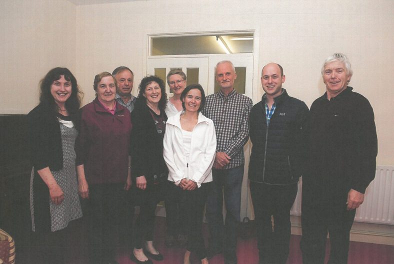
PURE Mile Committee with Anne Dowling & James Byrne
Winner of the Best PURE Mile Award


No Comments
Add a comment about this page