Rathdrum Mill Walk PURE Mile
The Mile starts at the Low Street end of Main Street, it runs through Lowtown and ends at the railway bridge on the road which separates the townland of Glasnarget North from the townland of Glasnarget South. This old road to Rathdrum was used pre-1860, before the railway was built.
On the road to Rathdrum near the ‘Rock Turn’ there is a grotto, situated in the remains of the stone quarry. The grotto dates to the 1940’s and the quarry was previously used to mine stones to build the Mill.
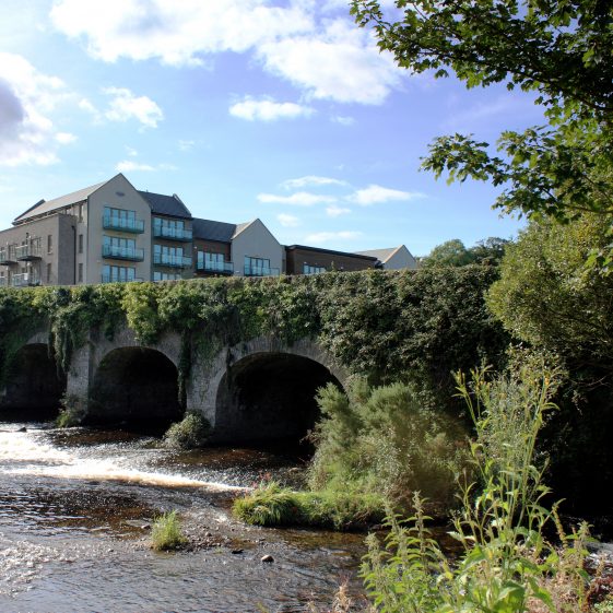
Further down the hill towards the area known as Lowtown, there is a bridge over the Avonmore River. This bridge has four principal arches/bays with a fifth serving as the overflow from the old mill race used at one time to service the Mill.
The Mill area had a number of weirs and sluices to manage the water flow and these are indicated on the old ordnance survey maps – www.osi.ie. The Mill was built in the early 1800’s, enlarged in the 1880’s and was a in turn a corn and a flour Mill. It was acquired in the 1960’s by Wicklow Co-Op Agricultural Society.
The other features of the Mile include an old forge, a Victorian postbox, a stile and a recently improved river walk along the Avonmore river.
Behind the forge there is a large house known as ‘Ardavon’ though now derelict this house was once home to the former Mill owners the Comerfords.
Information from: Rathdrum Tidy Towns and Conservation Area Proposal Feb 2006.


No Comments
Add a comment about this page